If you live in a concentrated area of Jews in Galut, you probably have quick…
#57 Mystical Tzfat
Tzfat is a city in the Northern District of Israel. Located at an elevation of 900 meters (2,953 ft), Tzfat is the highest city in the Galilee and in Israel.
Tzfat has been identified with Sepph, a fortified town in the Upper Galilee mentioned in the writings of the Roman Jewish historian Josephus. The Jerusalem Talmud mentions Safed as one of five elevated spots where fires were lit to announce the New Moon and festivals during the Second Temple period. Safed attained local prominence under the Crusaders, who built a large fortress there in 1168. It was conquered by Saladin 20 years later, and demolished by his grandnephew al-Mu’azzam Isa in 1219. After reverting to the Crusaders in a treaty in 1240, a larger fortress was erected, which was expanded and reinforced in 1268 by the Mamluk sultan Baybars, who developed Safed into a major town and the capital of a new province spanning the Galilee. After a century of general decline, the stability brought by the Ottoman conquest in 1517 ushered in nearly a century of growth and prosperity in Safed, during which time Jewish immigrants from across Europe developed the city into a center for wool and textile production and the mystical Kabbalah movement. It became known as one of the Four Holy Cities of Judaism. As the capital of the Tzfat Sanjak, it was the main population center of the Galilee, with large Muslim and Jewish communities.
Besides the fortunate governorship of Fakhr al-Din II in the early 17th century, the city underwent a general decline and was eclipsed by Acre by the mid-18th century. Its Jewish residents were targeted in Druze and local Muslim raids in the 1830s, and most of them perished in an earthquake in that same decade. Tzfat ‘s conditions improved considerably in the late 19th century, with its municipal council founded along with a number of banks, though the city’s jurisdiction was limited to the Upper Galilee. Its population reached 24,000 toward the end of the century; it was a mixed city, divided roughly equally between Jews and Muslims with a small Christian community. Its Muslim merchants played a key role as middlemen in the grain trade between the local farmers and the traders of Acre, while the Ottomans promoted the city as a center of Sunni jurisprudence. Through the philanthropy of Moses Montefiore, its Jewish synagogues and homes were rebuilt. Around the start of British Mandatory rule, in 1922, Safed’s population had dropped to around 8,700, roughly 60% Muslim, 33% Jewish and the remainder Christians. Amid rising ethnic tension throughout Palestine, Safed’s Jews were attacked in an Arab riot in 1929. The city’s population had risen to 13,700 by 1948, overwhelmingly Arab, though the city was proposed to be part of a Jewish state in the 1947 UN Partition Plan. During the 1948 war, Jewish paramilitary forces captured the city after heavy fighting, precipitating the flight of all of Safed’s Palestinian Arabs, such that today the city has an almost exclusively Jewish population.
Tzfat has a large Haredi community and remains a center for Jewish religious studies. Due to its high elevation, the city has warm summers and cold, often snowy, winters. Its mild climate and scenic views have made Tzfat a popular holiday resort frequented by Israelis and foreign visitors. In 2019 it had a population of 36,094.
Historic sites
-
Citadel Hill
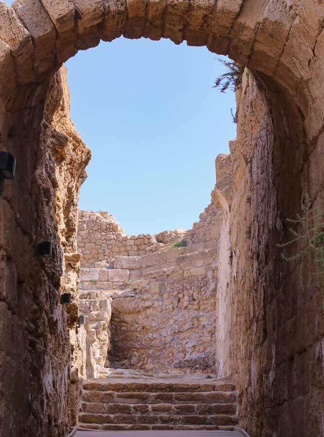
The Citadel Hill, in Hebrew HaMetzuda, rises east of the Old City and is named after the huge Crusader and then Mamluk castle built there during the 12th and 13th centuries, which continued in use until being totally destroyed by the 1837 earthquake. Its ruins are still visible. On the western slope beneath the ruins stands the former British police station, still pockmarked by bullet holes from the 1948 war.
-
Old Jewish Quarter
Before 1948, most of Safed’s Jewish population used to live in the northern section of the old city. Currently home to 32 synagogues, it is also referred to as the synagogue quarter and includes synagogues named after prominent rabbis of the town: the Abuhav, Alsheich, Karo and two named for Rabbi Isaac Luria: one Ashkenazi, the other Sephardi.
-
Mamluk-period buildings
Further south are two monumental Mamluk-period buildings:
- the Red Mosque with a khan (1276)
- the Mamluk mausoleum, now used by freemasons. The mausoleum was built for a Mamluk (governor) of Safed, Muzaffar ad-Din Musa ibn Hajj al-Ruqtay Musa Muzaffar al-Din ibn Ruqtay al-Hajj, who died in AH 762/AD 1360–61).
Southeast of the Artists’ Quarter is the Saraya, the fortified governor’s residence built by Zahir al-Umar (1689/90–1775).
